
Carte topographique Golestan National Park
Carte interactive
Cliquez sur la carte pour afficher l’altitude.
Golestan National Park
The park is located in the eastern Alborz (Elburs) Mountains range and the western edge of the Kopet Dag range. It comprises 91,890 ha. Elevations in the park range from 1,000–1,400 metres (3,300–4,600 ft) above sea level.
À propos de cette carte
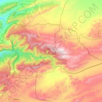
Nom : Carte topographique Golestan National Park, altitude, relief.
Altitude moyenne : 1’248 m
Altitude minimum : 315 m
Altitude maximum : 2’337 m