

Carte topographique Todmorden
Cliquez sur la carte pour afficher l’altitude.
Todmorden
Todmorden Town Hall, which was designed in the Neo-Classical style, dominates the centre of the town. The building straddles the Walsden Water, a tributary of the River Calder, and was situated in both Lancashire and Yorkshire until the administrative county boundary was moved on 1 January 1888. Designed by John Gibson of Westminster, this imposing building has a northern end which is semi-circular. One interesting external feature of the town hall is the pediment to the front elevation, which reflects the fact that it straddled the boundary as it depicts the main industries of the two counties. The fine carved stonework has two central female figures on a pedestal. The left-hand sculpture represents Lancashire (cotton spinning and weaving industries), and the right-hand one Yorkshire (wool manufacturing, engineering and agriculture).
À propos de cette carte
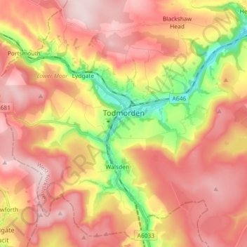
Nom : Carte topographique Todmorden, altitude, relief.
Altitude moyenne : 311 m
Altitude minimum : 104 m
Altitude maximum : 456 m