
Carte topographique Rödlas
Cliquez sur la carte pour afficher l’altitude.
Rödlas
Das Kirchdorf im Nordwesten der Gräfenberger Flächenalb liegt etwa viereinhalb Kilometer ostnordöstlich des Ortszentrums von Neunkirchen am Brand auf einer Höhe von 390 m ü. NHN.
À propos de cette carte
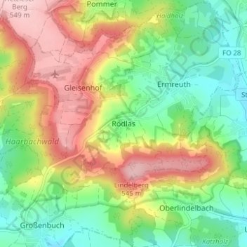
Nom : Carte topographique Rödlas, altitude, relief.
Altitude moyenne : 430 m
Altitude minimum : 342 m
Altitude maximum : 549 m