
Carte topographique Ouseburn
Cliquez sur la carte pour afficher l’altitude.
À propos de cette carte
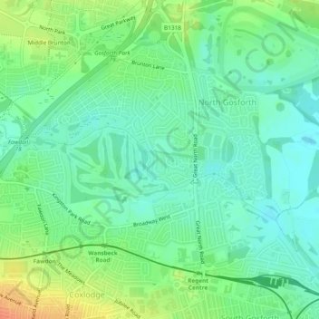
Nom : Carte topographique Ouseburn, altitude, relief.
Altitude moyenne : 58 m
Altitude minimum : 42 m
Altitude maximum : 86 m
Autres cartes topographiques
Cliquez sur une carte pour visualiser sa topographie, son altitude et son relief.
Middle Brunton
United Kingdom > England > Newcastle upon Tyne > Hazlerigg Village
Altitude moyenne : 63 m
Newburn
United Kingdom > England > Newcastle upon Tyne
In 1855, William Whellan's History, Topography, and Directory of Northumberland described the banks of the Tyne at this point having extensive iron works, coal staithes, brickyards, chemical works and other manufactories.
Altitude moyenne : 58 m