
Carte topographique Zouch
Carte interactive
Cliquez sur la carte pour afficher l’altitude.
À propos de cette carte
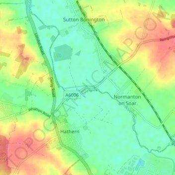
Nom : Carte topographique Zouch, altitude, relief.
Altitude moyenne : 49 m
Altitude minimum : 26 m
Altitude maximum : 83 m
Most of the hamlet lies in the civil parish of Sutton Bonington, apart from Zouch Farm which falls within Normanton on Soar parish, and the part in Leicestershire which is in Hathern parish. The nearest town is Loughborough. The A6006 road passes through the hamlet and crosses the Soar on Zouch Bridge (alternatively "County Bridge" as it spans the county border). The elevation of Zouch is 30 metres (98 ft).