
Carte topographique Royal Fort Garden
Carte interactive
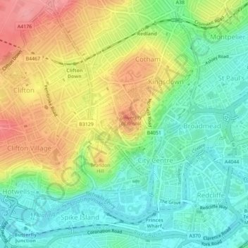
Cliquez sur la carte pour afficher l’altitude.
À propos de cette carte
Nom : Carte topographique Royal Fort Garden, altitude, relief.
Altitude moyenne : 43 m
Altitude minimum : 3 m
Altitude maximum : 99 m
Autres cartes topographiques
Cliquez sur une carte pour visualiser sa topographie, son altitude et son relief.
Kingswood Foundation Estate
United Kingdom > England > Bristol > Kingswood Foundation Estate
Altitude moyenne : 70 m