
Carte topographique Cachapoal
Carte interactive
Cliquez sur la carte pour afficher l’altitude.
À propos de cette carte
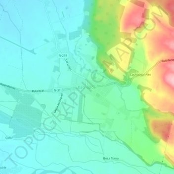
Nom : Carte topographique Cachapoal, altitude, relief.
Lieu : Cachapoal, Provincia de Punilla, Ñuble, Chili (-36.48150 -71.74815 -36.44150 -71.70815)
Altitude moyenne : 314 m
Altitude minimum : 268 m
Altitude maximum : 437 m