Géolocaliser

Carte topographique Begusarai

Carte interactive

Cliquez sur la carte pour afficher l’altitude.

À propos de cette carte

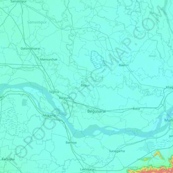
Nom : Carte topographique Begusarai, altitude, relief.

Lieu : Begusarai, Bihar, Inde (25.24924 85.73555 25.77580 86.51394)

Altitude moyenne : 44 m

Altitude minimum : 30 m

Altitude maximum : 457 m

Autres cartes topographiques

Cliquez sur une carte pour visualiser sa topographie, son altitude et son relief.

Chainpur

Inde > Bihar

Chainpur, Kaimur (Bhabua), Bihar, 821103, Inde

Altitude moyenne : 173 m

Siwan

Inde > Bihar

Siwan, Bihar, Inde

Altitude moyenne : 62 m

Gaya

Inde > Bihar > Gaya

Gaya, Gaya Town C.D.Block, Gaya, Bihar, 823001, Inde

Altitude moyenne : 111 m

Koshi

Inde > Bihar

Koshi, Madhepura, Bihar, 852218, Inde

Altitude moyenne : 45 m

Gurpa

Inde > Bihar > Gaya

Gurpa, Fatehpur, Gaya, Bihar, Inde

Altitude moyenne : 189 m