
Carte topographique Bagamoyo
Carte interactive
Cliquez sur la carte pour afficher l’altitude.
À propos de cette carte
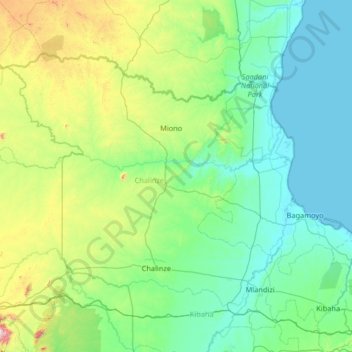
Nom : Carte topographique Bagamoyo, altitude, relief.
Lieu : Bagamoyo, Pwani, Coastal Zone, Tanzanie (-6.76580 37.81443 -5.82800 39.12195)
Altitude moyenne : 228 m
Altitude minimum : 0 m
Altitude maximum : 1’501 m
Autres cartes topographiques
Cliquez sur une carte pour visualiser sa topographie, son altitude et son relief.