
Carte topographique Dietzenbach
Carte interactive
Cliquez sur la carte pour afficher l’altitude.
À propos de cette carte
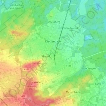
Nom : Carte topographique Dietzenbach, altitude, relief.
Lieu : Dietzenbach, Landkreis Offenbach, Hesse, 63128, Allemagne (49.98256 8.74756 50.03925 8.82671)
Altitude moyenne : 155 m
Altitude minimum : 121 m
Altitude maximum : 208 m