Géolocaliser

Carte topographique Carlin

Carte interactive

Cliquez sur la carte pour afficher l’altitude.

À propos de cette carte

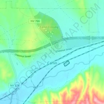
Nom : Carte topographique Carlin, altitude, relief.

Lieu : Carlin, Elko County, Nevada, 89822, United States (40.69421 -116.14234 40.74197 -116.07805)

Altitude moyenne : 1’522 m

Altitude minimum : 1’488 m

Altitude maximum : 1’643 m

Carlin is a small city located near the western border of Elko County in northeast Nevada, 23 miles (37 km) west of the city of Elko. It is part of the Elko Micropolitan Statistical Area. Carlin sits along Interstate 80 at an elevation of approximately 4,900 feet (1,500 m). As of the 2010 census, its population was 2,368, up from 2,161 at the 2000 census. The city was named for Civil War general William Passmore Carlin. Its slogan is "Where the Train Stops...And the Gold Rush Begins".