
Carte topographique Abrantes
Carte interactive
Cliquez sur la carte pour afficher l’altitude.
À propos de cette carte
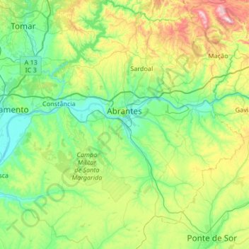
Nom : Carte topographique Abrantes, altitude, relief.
Lieu : Abrantes, Santarém, Portugal (39.23331 -8.35557 39.64649 -7.93946)
Altitude moyenne : 167 m
Altitude minimum : 9 m
Altitude maximum : 636 m
Autres cartes topographiques
Cliquez sur une carte pour visualiser sa topographie, son altitude et son relief.